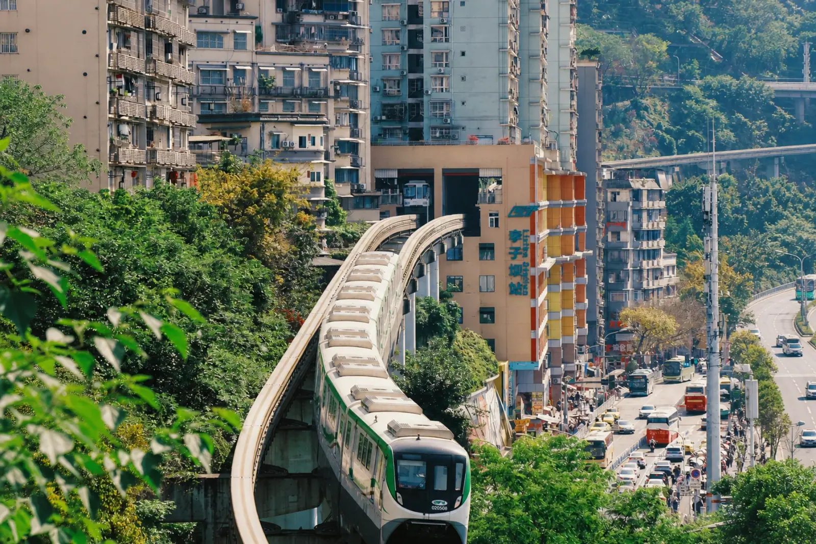
From Chongqing North, Chongqing West or Shapingba railway station, use the metro as the backbone, then walk, take a bus or use ride-hailing for the final kilometre. Plan the exit and elevation because a short distance on a map can still mean stairs, a slope or a long road crossing.
Arriving at Chongqing North Railway Station
Chongqing North is a common high-speed-rail arrival and has integrated metro access. Check whether the ticket says North Square or South Square, because the railway complex has separate arrival areas and long internal walks.
For most visitor routes, use the metro from North Station South Square and let a live transit app choose the current transfer. Go to your hotel first if you have full-size luggage; Hongya Cave and Liziba are poor luggage stops.
Arriving at Chongqing West Railway Station
Chongqing West connects with the Loop Line and Line 5. The best route into Yuzhong depends on your hotel and current service, so check the transfer after the train arrives rather than copying an old route screenshot.
A direct ride-hailing car can make sense for two or more travellers with luggage. Compare the road time with the full metro journey, including station corridors and the final uphill walk.
Arriving at Shapingba Railway Station
Shapingba is especially practical when Ciqikou or a Shapingba hotel comes first because Line 1 serves the area. It is not automatically the fastest railway station for a central Yuzhong itinerary.
Do not take luggage through Ciqikou's narrow lanes unless you have confirmed storage. Check in first, then return on Line 1 for the old-town visit.
Use the metro for the long moves
The metro is the most predictable way to connect Jiefangbei, Liziba, Ciqikou, Chaotianmen and the south-bank areas. Check the line and station exit in a live map because exits and pedestrian controls can change.
For a first trip, save the Chinese names for your hotel and each attraction. English map results can be inconsistent, while the Chinese name usually resolves the correct entrance.
When a bus is useful
Buses are useful for short neighbourhood trips when the live route avoids a metro transfer. They are less predictable for a timed attraction because road traffic, bridge congestion and temporary stop changes can lengthen the trip.
Use a live local navigation app to select the route and stop. Bus numbers and stop names can change faster than the surrounding attraction information, so do not rely on an old screenshot.
Plan the last kilometre
- Open the walking route before leaving the station.
- Expect a change in level when a route crosses from a tower district to the riverfront.
- Use ride-hailing for luggage, heat, rain or a steep final climb.
- Give every timed booking a buffer for station corridors and queues.
Taxis and ride-hailing
Ride-hailing is useful when the road drop-off is clearer than the station exit. Enter the full Chinese attraction name and check whether the pin is on the upper road, lower road or opposite riverbank.
A driver may stop before a pedestrian street. Treat that as normal and finish on foot rather than asking to enter a restricted lane.
Walking in a mountain city
Chongqing walking is rewarding but uneven. Comfortable shoes, water and a small time buffer matter more than a high daily step count. If your group has mobility constraints, redesign the route around fewer level changes instead of assuming every landmark is step-free.
Transport checklist before leaving
- Save your hotel and next attraction in Chinese.
- Confirm the railway station square, metro exit and riverbank.
- Open the live route before entering the station.
- Screenshot the destination pin, not an old step-by-step route.
- Keep extra time for luggage, rain and long station corridors.
The short recommendation
Build each day around one metro corridor, then add nearby walks. Avoid crossing the river repeatedly just because two attractions look close on a flat map.
Frequently asked questions
Which Chongqing railway station is best for tourists?
It depends on the train and your first neighbourhood. Chongqing North is a common general arrival, Chongqing West connects through the Loop Line and Line 5, and Shapingba is useful for Ciqikou and Line 1.
Is the Chongqing metro easy for tourists?
Yes for the main routes, especially when you save Chinese station names and verify exits. The confusing part is usually the final walk, not the train itself.
Should you use buses in Chongqing?
Use buses for short local trips when live navigation shows a simple route. For cross-city travel or timed bookings, the metro is usually more predictable.
Should you use taxis in Chongqing?
Use ride-hailing for steep final walks, luggage and bad weather. Keep the metro for predictable cross-city travel.
How do you find the correct metro exit?
Check a live map and match the exit to the direction of your next street. Old screenshots are less reliable when construction or crowd controls change.
Is Chongqing walkable?
The central sights are walkable in clusters, but the city is hilly and roads can force detours. Plan by neighbourhood, not by straight-line distance.
Related guides
Sources reviewed
Chongqing Rail Transit Chongqing Transport Commission: railway and metro integration Chongqing government: West Railway Station metro transfer Image source and licenceKeep planning
Turn preparation into a route.
Once the basics are ready, use Chongqing to choose the right neighbourhood and pace.